
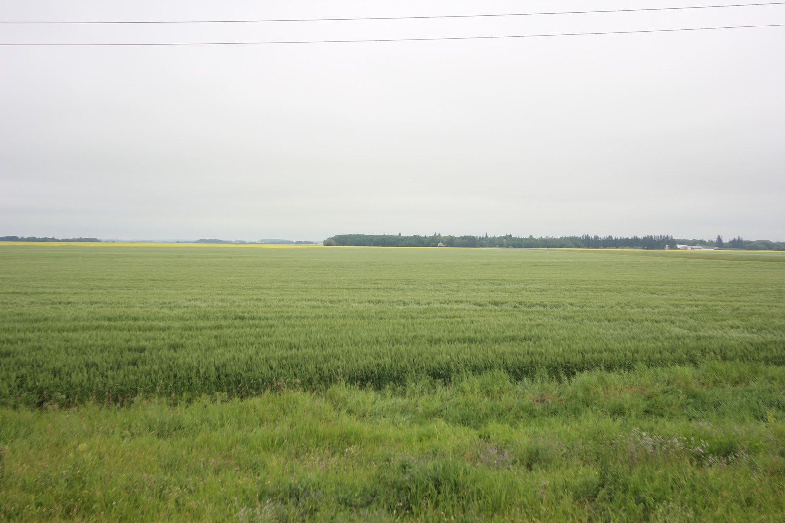
Crossed into USA at Rainy River, customs fine, asked several questions about where I stayed last night, I gave a vague answer. Crossed back into Canada north of Warroad customs fine, hwy 12 to 201 on open road well south of Winnipeg. Much more mixed farming than I expected to see; spring wheat, summer wheat, potato's, bright yellow canola

and a few others I don't know. Fantastic valley lake area at Ninette. Stayed on hwy 201 to Morris headed north to hwy 23 drive through Miami, saw the worlds biggest pumpkin at Baldur.


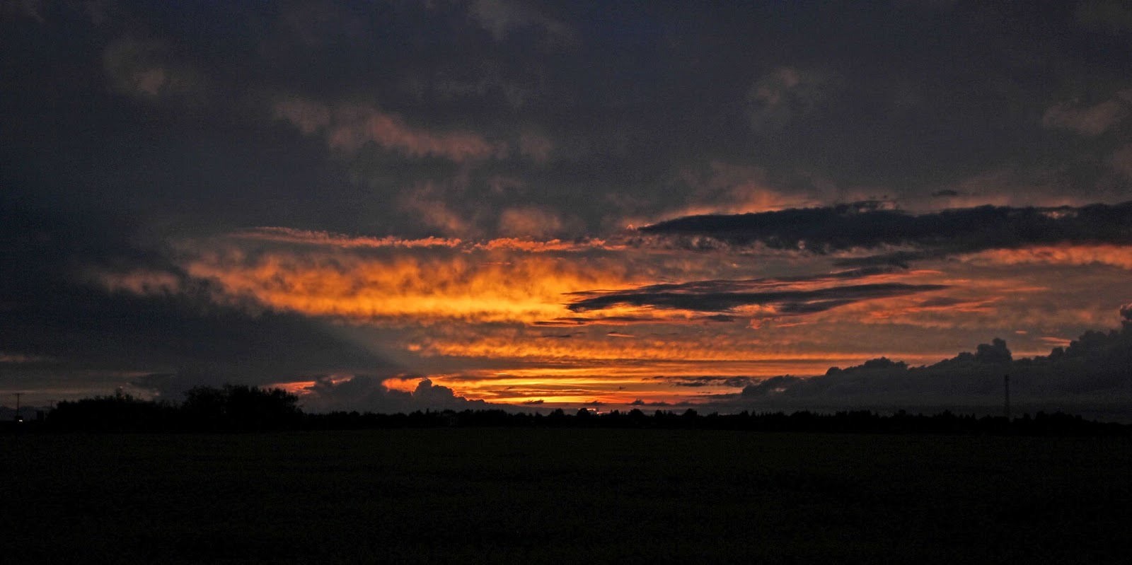
Direction north bound to HWY 11 from Regina to Saskatoon to hwy 16 NW pulled off near Fielding at road side lookout fantastic sunset hear. Stayed here free again.


 1493km today. Top business of new day, get a good map CAA maps show 1/2 country on one map.
Considering tour change north to the NW Territories than back south Mackenzie Highway a
dirt road, not sure how long this road is but going along on paved roads looks to be 900km and the gravel/dirt way maybe 500km to BC.
1493km today. Top business of new day, get a good map CAA maps show 1/2 country on one map.
Considering tour change north to the NW Territories than back south Mackenzie Highway a
dirt road, not sure how long this road is but going along on paved roads looks to be 900km and the gravel/dirt way maybe 500km to BC.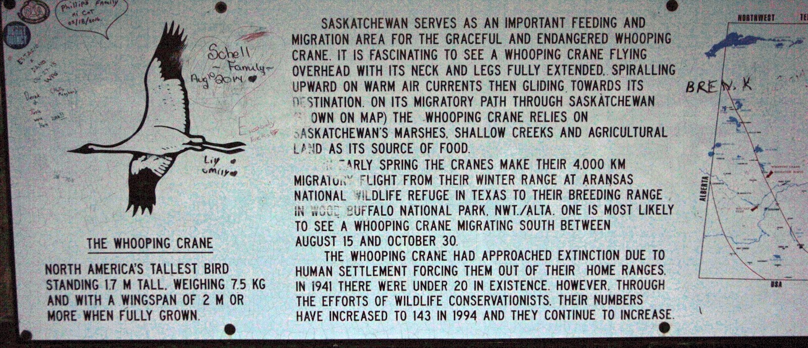
No comments:
Post a Comment